EMMOSS

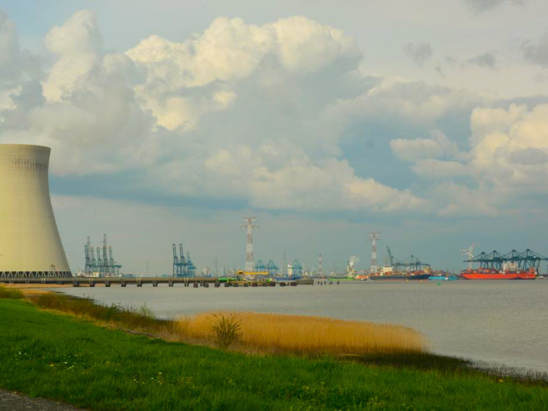
We developed EMMOSS on behalf of VMM to determine emissions caused by rail traffic, inland navigation, and maritime navigation, both for passenger transport and goods transport on Flemish territory. For maritime shipping, this concerns both emissions caused by ships sailing on Belgian territory and emissions from ships in ports (manoeuvring and idling). For Flanders - with important ports such as Antwerp, Ghent, and Zeebrugge - maritime emissions in ports form a non-negligible part. The model is used to annually inventory emissions and simulate different scenarios, taking into account technological evolutions within the different modes of transport.
Recente projecten

Environmental and climate impact Railway Vision 2040
What impact will the implementation of Railway Vision 2040 have on energy consumption and emissions from transport in Belgium?

Preparatory research on decarbonising the Belgian maritime sector
The maritime shipping sector is responsible for the highest CO2 emissions in Belgian waters. Decarbonising this sector requir...
The Bossuit-Kortrijk Canal
What would be the impact of upgrading the Bossuit-Kortrijk canal for class Va vessels?

Internalisation of External Costs of Transport in Flanders
Update 2016: To what extent do transport users internalise their external costs?
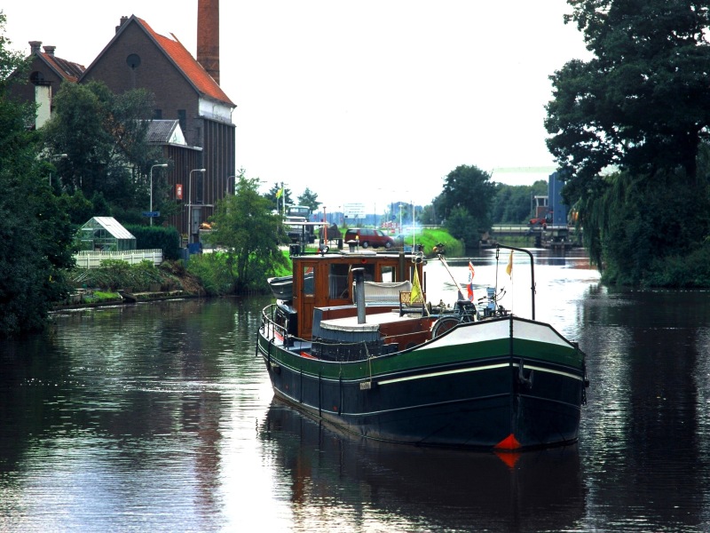
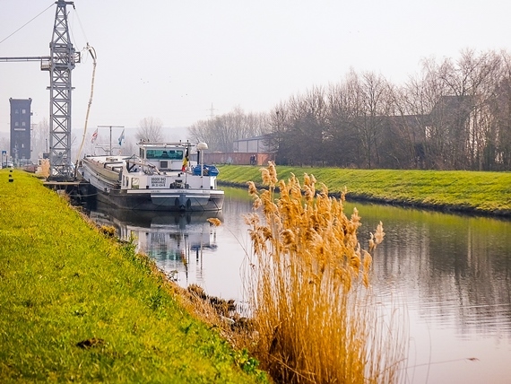
Emissions of inland waterways
We examined local measures to reduce inland navigation emissions.

MIRA external costs
Who pays for the negative aspects of transport?
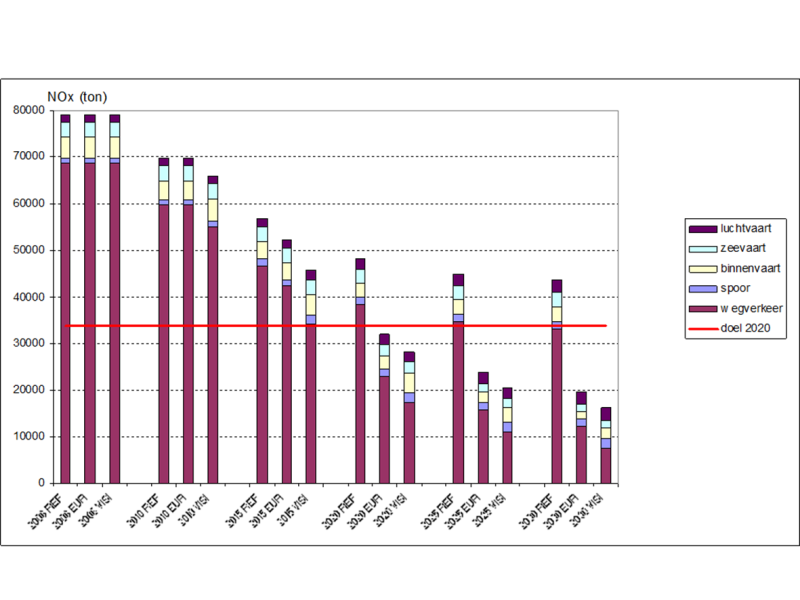
MIRA-S 2009
What is the evolution of emissions from inland navigation, rail traffic, aviation, and maritime transport?
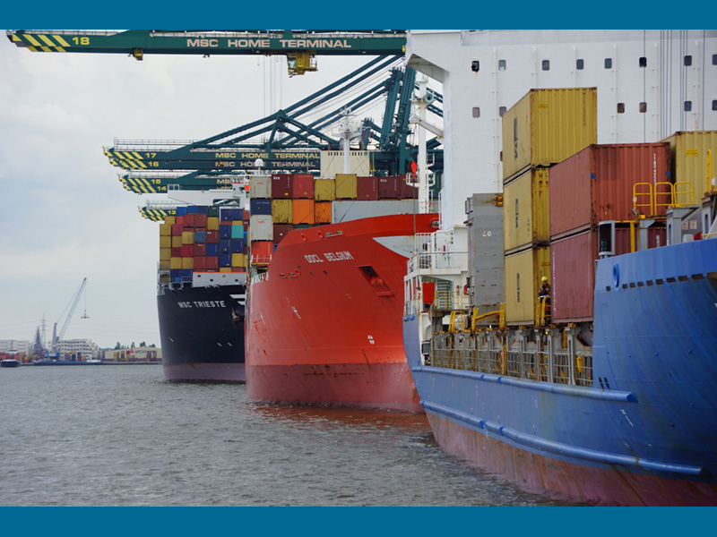
ETS Flemish ports
Inclusion of international transport in the European emissions trading system: the interpretation of modalities from the pers...
IMMI2
TML calculated air quality along waterways and in ports.

Iron Rhine
We worked on transport forecasts and SCBA related to a possible reactivation of the Iron Rhine.
EMMOSS model
TML updates and develops the Flemish emissions model for shipping and railways.